Tag: monitoring

Topographic Survey Shows Progress at Triple Creek

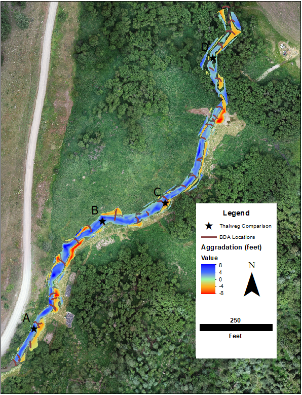
OHA partners with US Fish and Wildlife Service to conduct topographic surveys of the stream channel and banks to measure (even small) changes in elevation of the creek bed and shifts in the streambanks over time. The topographic surveys show how silt, sand, and gravels have accumulated, scoured, and moved throughout the project reach as the force of water carries the sediment downstream, recruits it from the streambanks, and deposits it on the creek bed. 
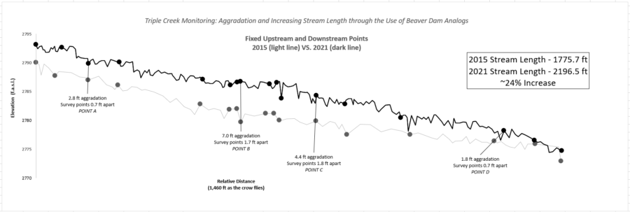
Graph above shows topographic survey (elevation data) plotted versus the relative distance in the thalweg of the stream. Points A-D on the graph are comparable to those points on the map below.
Aerial view (above) of Triple Creek Project area. Cooler colors signify aggradation and warmer colors signify erosion. Both processes are critical to the restoration of this stream and wetland.
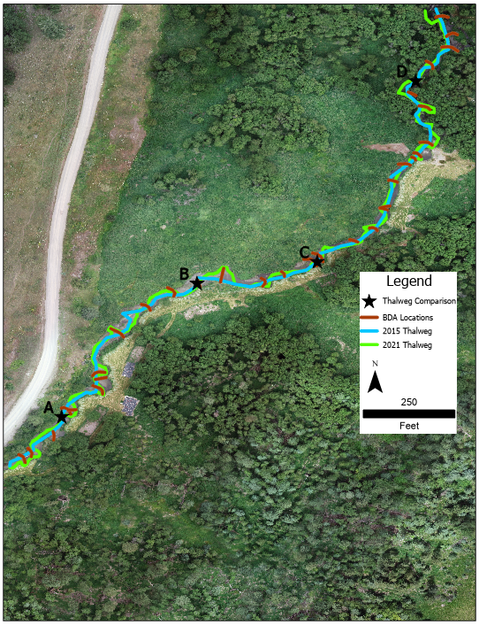
The aerial view above shows that the reach is significantly longer and more sinuous now than it was before the project started.

Progress By The Numbers: 

  • 3800 yd3 = 271 dump trucks of sediment deposited in the reach!
  • 1500 yd3 = 107 dump trucks of sediment eroded in the reach!
  • 5300 yd3 = 378 dump trucks of sediment shifted within the reach!
  • 2300 yd3 = 164 dump trucks of sediment carried from outside the project area and deposited in the reach!
Myers Creek Songbird Survey

One indicator OHA uses to measure change over time at our restoration sites is the migratory songbird population, using a timed point-count method.

We conduct a point-count bird survey at our Myers Creek mitigation site near Chesaw for one morning in late May or early June. We visit several stations and record which bird species we observe at each — near and far, during two different timeframes. Some interesting species we have seen in past years include the Black-headed Grosbeak, Gray Catbird, Eastern Kingbird, and Clay-colored Sparrow, among many others.

Pre-registration is required, and event details are provided to those who sign up. The survey route covers just under two miles of very uneven terrain with some sidehill hiking and no established trail; please ensure that this kind of activity suits your fitness level and stamina if you wish to participate. There are no restroom facilities onsite, but there is an outdoor toilet available in the town of Chesaw (bring your own TP).

If you bird by ear and/or sight and would like to share your skills, please contact info@okanoganhighlands.org. Let us know if you’d like to be invited to other bird surveys in the future, and we’ll be sure you are on our email list!

See below for photos from the annual event at Myers Creek over the years. Thank you to all the volunteers who have contributed to this important effort since 2011! We hope that as the habitat improves, it will be capable of supporting an increasing diversity of bird species! In our 2019 survey, we observed 30 different species!

Surface Remediation Well Underway, Fall 2018

Kinross began removing construction fill from the surface of the mine site and putting it underground even before they finished mining, but that has not reduced the pollution problem. Once mining was complete in 2017, Kinross rapidly began moving the rest of the construction fill into the underground mine shafts; even the fill that was under the treatment facility was moved. To do this, they dismantled the facility without authorization, leaving the mine site without a working treatment facility for a period of six months.

At this point, most of the buildings have been removed and the ground surface has been recontoured and seeded. On the surface, things are looking more natural. However, downgradient wells are still high in sulfates and other contaminants.

Waste Rock

Species Inventory

OHA is conducting an inventory of plants both in the wetland and the upland, which helps us to better understand the biological resources present and to monitor changes over time. To date, over 75 plants species have been identified and photographed onsite, with a record of their wetland indicator status and other pertinent information.

Birds

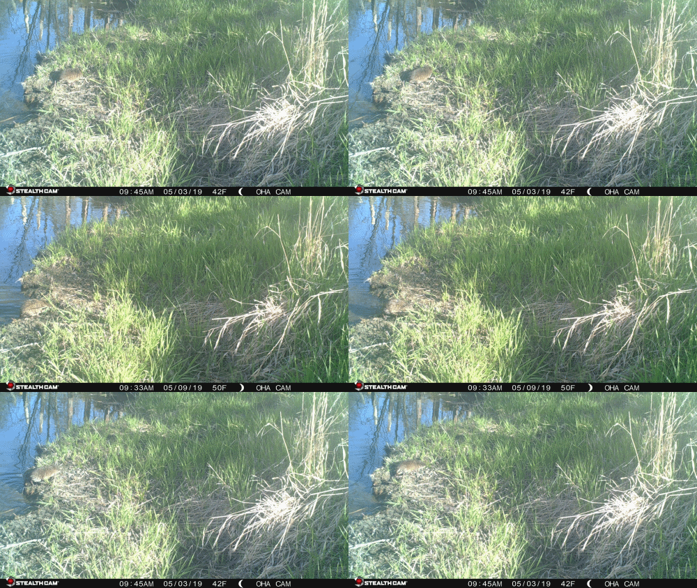
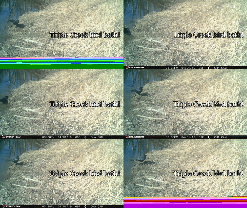
Raising the water level to the historic floodplain facilitates wildlife access to the creek!

  • 1
  • 2
Go Back