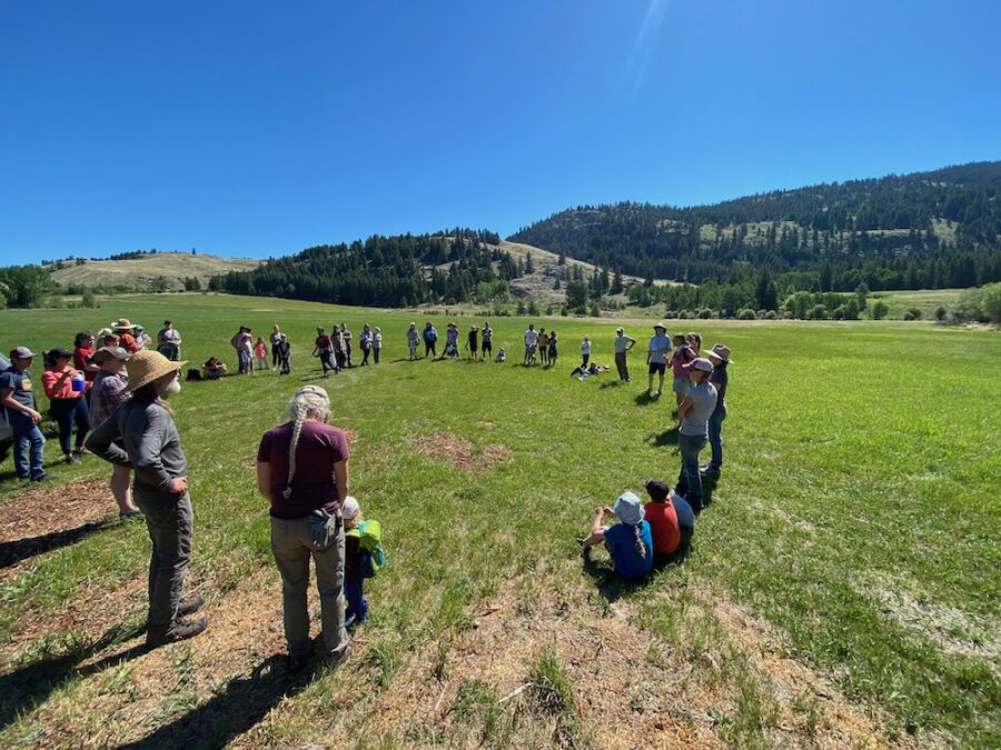
The time is now to have your voice heard regarding the management of forests in the Okanogan Highlands. From now until August 29, 2025, the Colville National Forest is inviting public comments on the Draft Environmental Assessment (EA) for the Buckhorn Project. Read on to learn more and find out how you can help!
The Draft EA for the Buckhorn Project recently released by Colville National Forest, describes the forest and recreation management proposed for over 66,000 acres on and around Buckhorn Mountain and Mount Bonaparte in the Okanogan Highlands.
Because the management actions are being classified under a legal framework called an Emergency Action Determination, this is your best (and only) chance to have your voice heard and input incorporated!
OHA’s initial concerns include:
- The draft EA includes amendments to the forest plan that would allow logging and thinning of old growth, and in deer winter range. Amendments would allow thinning or logging: in over 15,000 acres of old growth forest and 26,000 acres of deer winter range. These changes to the forest plan may have negative ecological impacts such as damaging soils, spreading weeds, impacting waterways, damaging wildlife habitat, and having questionable effectiveness in reducing fire risk.
- The management prescriptions in the Bonaparte and Jackson Roadless Areas would allow removal of trees up to 10 inches diameter, creating conditions that stimulate rapid, thick regrowth of small trees (i.e.increased fuels and fire danger in the future in some of the more remote parts of our local public lands).
- The thinning prescriptions, in general, would remove trees less than or equal to 11 inches diameter – leaving, on average, 50 trees per acre, leading to a drier forest floor and/or opportunity for thick re-growth in thinned areas).
- The EA does not address the impacts of the extreme extent of the proposed management activities – meaning logging, thinning, machine piling, and burning – on nearly 49,000 acres (~75% of the project area) in the Okanogan Highlands.
OHA is concerned that the prescriptions described in the EA are too extreme, and will lead to increased wildfire danger in the future. OHA does not support entry into old growth ecosystems; we advocate for thinning prescriptions that will leave a healthy, vibrant, and whole forest ecosystem behind.
The information linked here includes the letter announcing the opportunity to comment from Joshua White, Forest Supervisor, the Draft EA, and associated reports, and information about how to submit your comment letter. Send comments electronically to: comments-pacificnorthwestcolville-tonasket@usda.gov, request receipt of your comments, and put “Buckhorn 30-day Comment Period in the subject line of your email.
We encourage you to seize this opportunity to share your voice with the Forest Service! Make sure to send your comments in by August 29, 2025. As you write your letter, if you have questions or ideas that you would like to share, send us an email at: info at okanoganhighlands dot org
~~~~~~~~~~~~~~~~~~~~~~~~~~~~~~~~~~~~~~~~~~~~~~~~~~~~~~~~~~~~~~~~~
Where are we in the process? COMMENTING on the DRAFT Environmental Assessment
August 2024: Scoping. Some of you may have submitted comments during the scoping period last year.
August 2025: Commenting on the Draft Environmental Assessment. This is the second (and last) opportunity to have your voice heard.
Important! Scoping letters and Comments on the Draft EA serve different purposes. While scoping focuses on defining the “what” of the environmental review, comment letters address the “how well” the draft document has analyzed those issues.
The PURPOSE of the Comment Letter on the draft EA is to provide detailed feedback on the draft document’s analysis, findings, and proposed actions and no action alternative.
The CONTENT of the Comment Letter on the draft EA should be specific and focus on:
- identifying flaws in the analysis
- areas where more accurate or in-depth information is needed
- potential impacts that were overlooked or inadequately addressed
- whether proposed mitigation measures are sufficient.
- You can also express your preferred alternative and provide rationale for your choice.
The GOAL of the Comment Letter on the draft EA is to help refine the environmental analysis and inform the agency’s final decision on the proposed action.
~~~~~~~~~~~~~~~~~~~~~~~~~~~~~~~~~~~~~~~~~~~~~~~~~~~~~~~~~~~~~~~~~
Suggestions for your letter:
- Personalize your letter! Your personal connection to the Okanogan Highlands, to Mount Bonaparte, to Buckhorn Mountains and to the surrounding area is an incredibly important part of your comment letter. Explain how the proposed management activities will impact YOU if this proposal moves forward. Consider adding information about the proposed activities will affect your home, your land, your family, your livelihood, or your business. Consider using this information to begin letter and to frame your other comments.
- Identify issues that are “significant”. If there are “significant issues”, the Forest Service must prepare a more detailed Environmental Impact Statement (EIS) rather than an Environmental Assessment (EA). In order to decide whether an issue is “significant” agencies must consider:
- Context: This means that the significance of an action must be analyzed in several contexts such as society as a whole (human, national), the affected region, the affected interests, and the locality. Significance varies with the setting of the proposed action. For instance, in the case of a site-specific action, significance would usually depend upon the effects in the locale rather than in the world as a whole. Both short- and long-term effects are relevant.
- Intensity: This refers to the severity of impact. …The following should be considered in evaluating intensity:
- Impacts that may be both beneficial and adverse. A significant effect may exist even if the Federal agency believes that on balance the effect will be beneficial.
- The degree to which the proposed action affects public health or safety.
- Unique characteristics of the geographic area such as proximity to historic or cultural resources, park lands, prime farmlands, wetlands, wild and scenic rivers, or ecologically critical areas.
- The degree to which the effects on the quality of the human environment are likely to be highly controversial.
- The degree to which the possible effects on the human environment are highly uncertain or involve unique or unknown risks.
- The degree to which the action may establish a precedent for future actions with significant effects or represents a decision in principle about a future consideration.
- Whether the action is related to other actions with individually insignificant but cumulatively significant impacts. Significance exists if it is reasonable to anticipate a cumulatively significant impact on the environment. Significance cannot be avoided by terming an action temporary or by breaking it down into small component parts.
- The degree to which the action may adversely affect districts, sites, highways, structures, or objects listed in or eligible for listing in the National Register of Historic Places or may cause loss or destruction of significant scientific, cultural, or historical resources.
- The degree to which the action may adversely affect an endangered or threatened species or its habitat that has been determined to be critical under the Endangered Species Act of 1973.
- Whether the action threatens a violation of Federal, State, or local law or requirements imposed for the protection of the environment.
- Write “substantive” specific comments. By law, the Forest Service must respond to all “substantive” comments submitted during the public comment period. If you provide the agency with specific, focused, substantive comments, the agency will be required to provide a detailed response. Avoid stating an opinion (i.e. “I oppose…”, “I do not believe that…”, “I fear…”)
- Include references. Organize your comments by section and include page numbers, and specific topics that you are addressing. If you use external resources/references to support your letter, include complete references to them in your letter. Do your best to identify any information that is missing or incomplete in the analyses.
~~~~~~~~~~~~~~~~~~~~~~~~~~~~~~~~~~~~~~~~~~~~~~~~~~~~~~~~~~~~~~~~~
Links to More Information:
Okanogan Land and Resource Management Plan (1989)
Okanogan County Community Wildfire Protection Plan
Executive Order 14072 “Strengthening the Nation’s Forests, Communities, and Local Economies” (2022)
USDA FS Draft EIS “National Old-Growth Amendment” (June 2024)
As you write your letter, if you have questions or ideas that you would like to share or run by us, send us an email at: info at okanoganhighlands dot org