Topographic Survey Shows Progress at Triple Creek
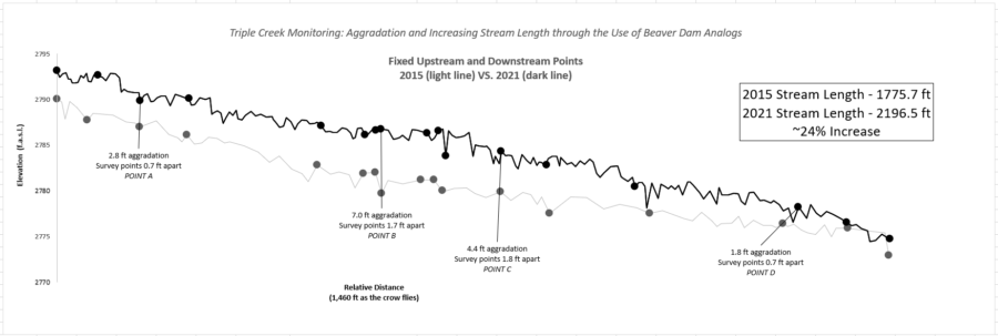
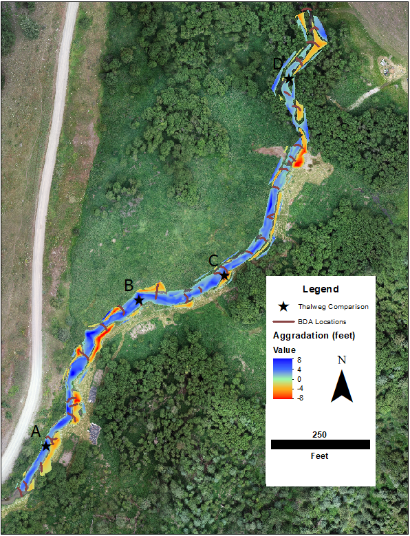
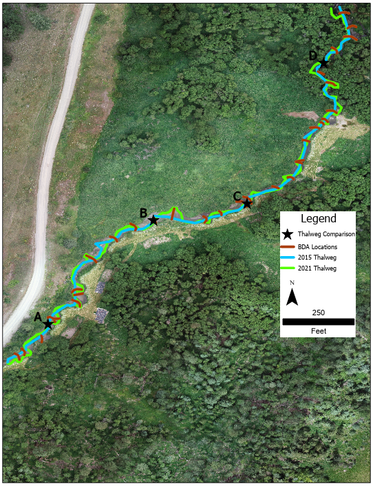
OHA partners with US Fish and Wildlife Service to conduct topographic surveys of the stream channel and banks to measure (even small) changes in elevation of the creek bed and shifts in the streambanks over time. The topographic surveys show how silt, sand, and gravels have accumulated, scoured, and moved throughout the project reach as the force of water carries the sediment downstream, recruits it from the streambanks, and deposits it on the creek bed.


Progress By The Numbers:
- 3800 yd3 = 271 dump trucks of sediment deposited in the reach!
- 1500 yd3 = 107 dump trucks of sediment eroded in the reach!
- 5300 yd3 = 378 dump trucks of sediment shifted within the reach!
- 2300 yd3 = 164 dump trucks of sediment carried from outside the project area and deposited in the reach!
BDA, monitoring, restoration, topographic survey, Triple Creek