Okanogan Highlands Alliance Welcomes New Executive Directors
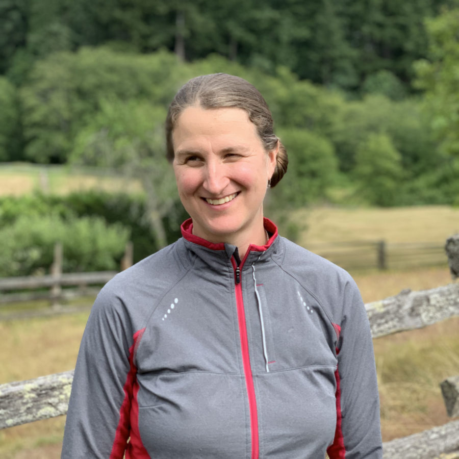
The Board of Directors of Okanogan Highlands Alliance (OHA) is happy to announce their decision to hire Jennifer (Jen) Weddle and Sarah Kliegman, as Co-Directors to lead the community-based nonprofit. Jen, a former member of the OHA Board of Directors, has a BA in Biology-Environmental Studies and teaches at the Outreach Program at Tonasket School District. Sarah, who volunteered with OHA from an early age and grew up in the Okanogan Highlands, recently returned to the Okanogan after working as a chemistry professor at the Claremont Colleges. Sharing the position will enable each of them to balance work and family life while providing OHA with a unique blend of experience and expertise.
Sarah 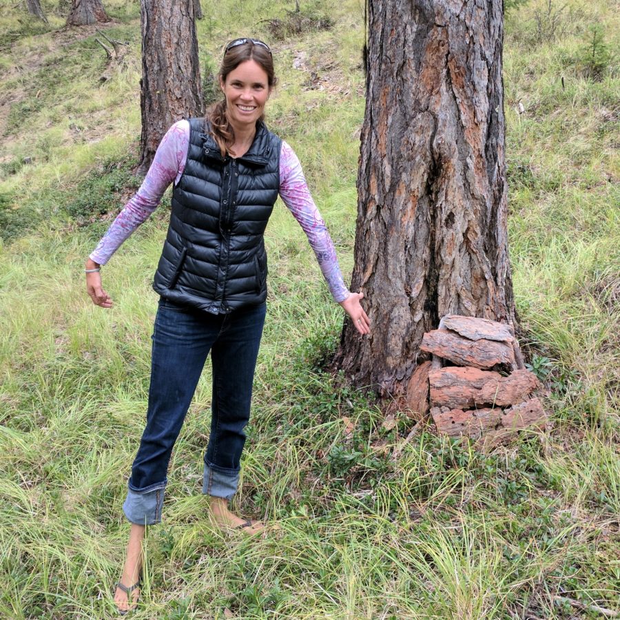
Jen
“We are happy to welcome such highly qualified professionals to lead OHA into the future,” stated George Thornton, OHA’s Board President. “Their complementary skills and experience will be a great asset to the organization.”
After more than 25 years of service, David Kliegman, OHA’s founding ED, notified the Board in January that he would like to retire. Since that time, the Board has been working on transition planning.
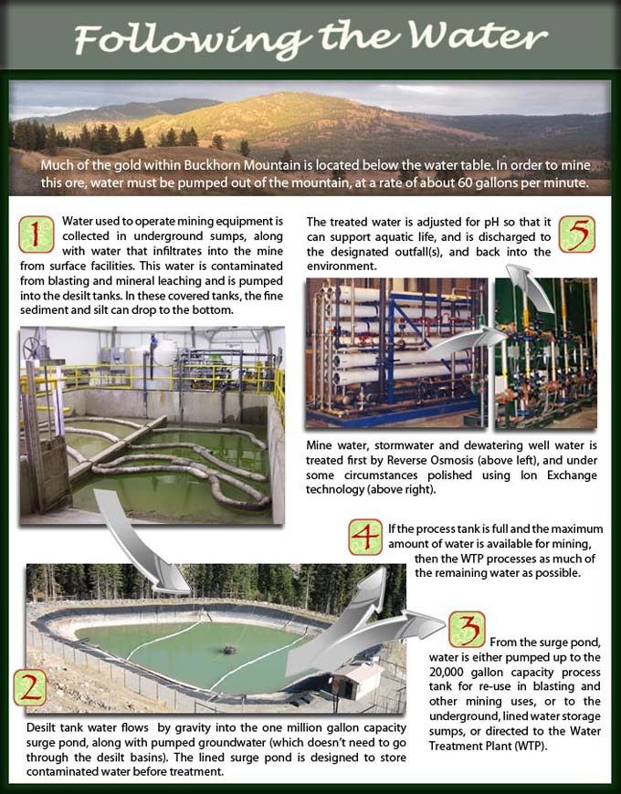
“It has been an honor to serve as the spearhead for this community effort to use science and the law to stop the open-pit mine that was proposed on Buckhorn Mountain and to begin OHA’s successful restoration and education programs,” stated the retiring ED. “I will continue to track the mine’s efforts to clean up the pollution but look forward to spending more time with my family and carving wood.
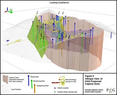
In 2007, OHA settled its appeal of the underground mine in hopes that increased cooperation would evolve into greater protection of the environment, but the company’s efforts have fallen short of what is needed to stem the flow of pollutants from the site.
“Since the mining company has been unable to control the pollution from their mine, the new directors will have our work cut out for us,” states Sarah Kliegman, OHA’s new Co-Director. “We will continue the effort to try to get [the WA Department of] Ecology to hold the mine accountable for its pollution.”
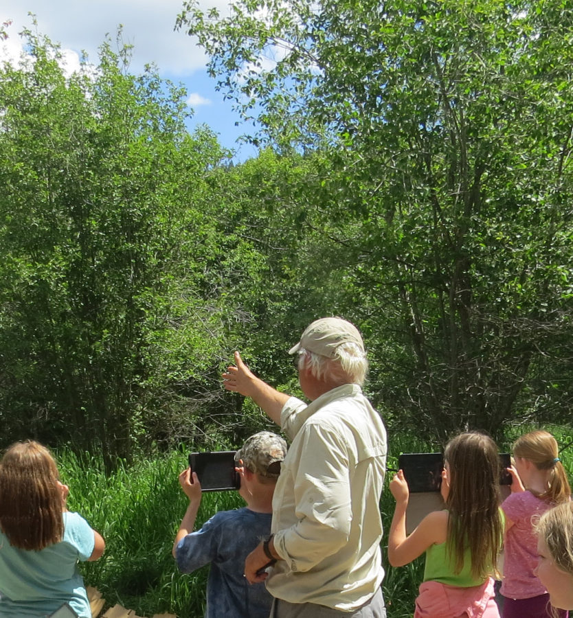
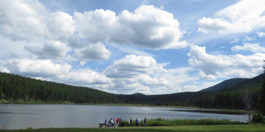
“We look forward to further developing OHA’s robust restoration and public education programs which repair damaged wetlands and bring experts in natural history to share the wonders in Tonasket and the Highlands,” states Jennifer Weddle, OHA’s other new Co-Director. “OHA’s leadership will help to improve and better understand the ecology of the Okanogan Highlands.”
The Okanogan Highlands Alliance is a non-profit organization that works to educate the public about watershed issues, including the environmental threats of large-scale mining. For more information go to okanoganhighlands.org