
Aerial photo of Triple Creek site (1983): before the stream downcut–draining the wetland

Aerial photo of Triple Creek site (2013): after site degradation, before restoration
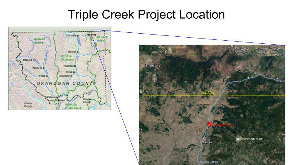
Project site location, inset map
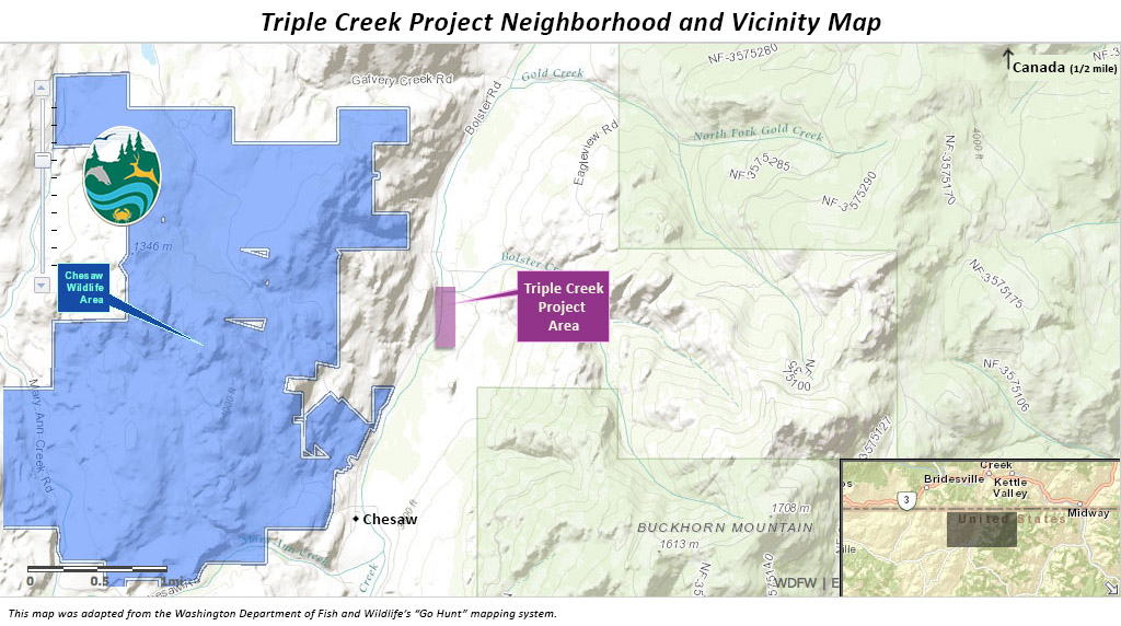
Project site location, neighboring areas
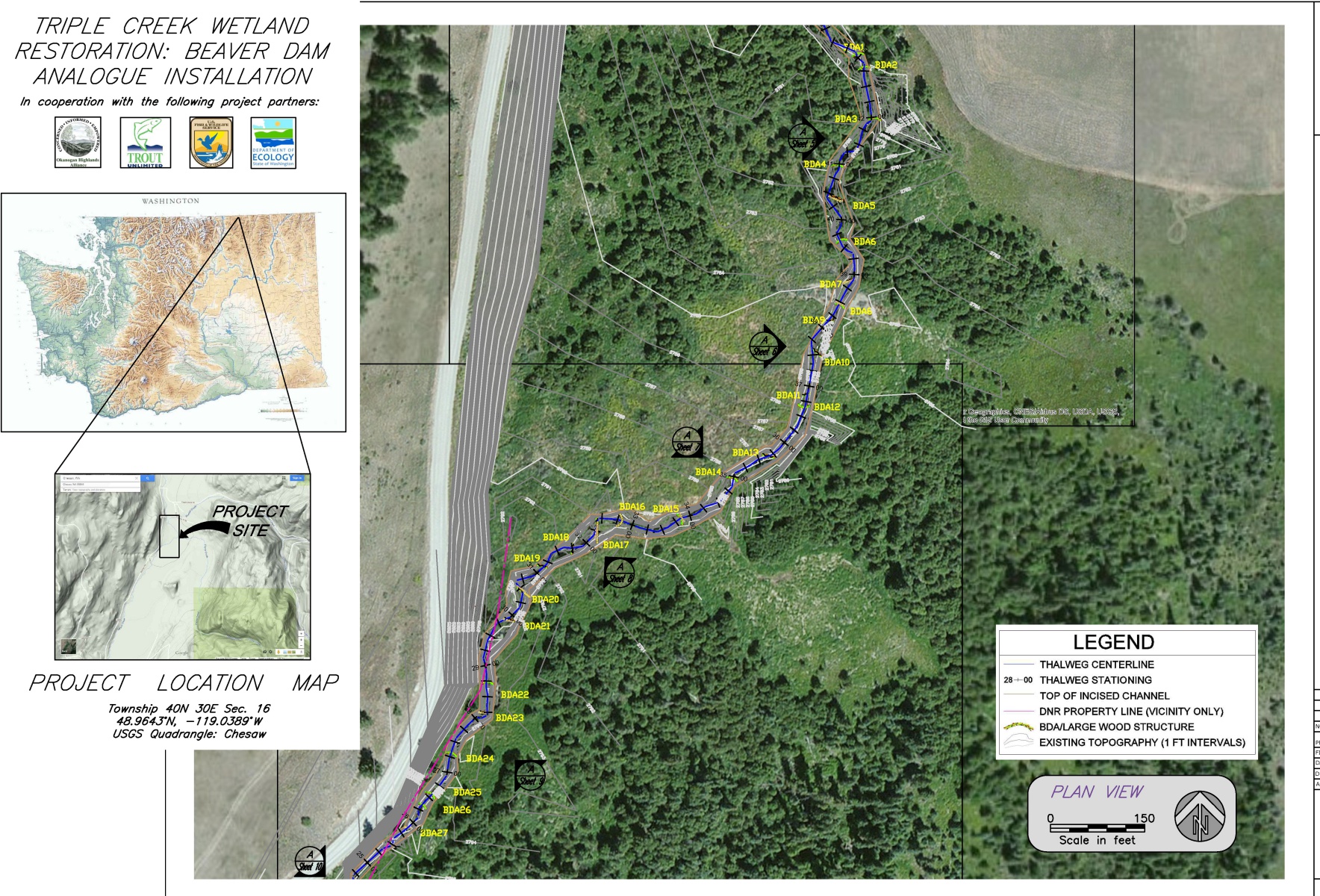
Project plans (2015)

Historic wetland types at the site, prior to degradation
Beaver Dam Analogue installations
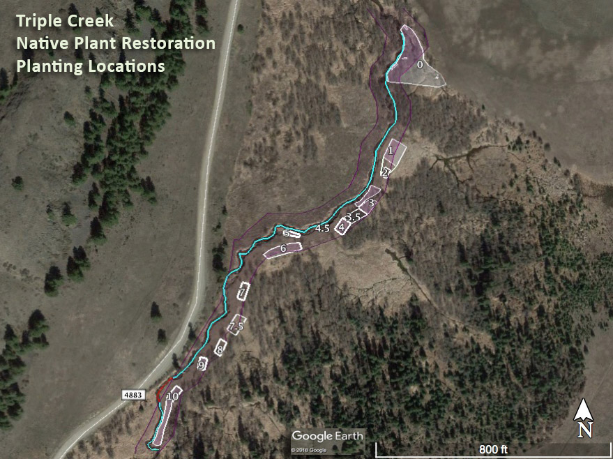
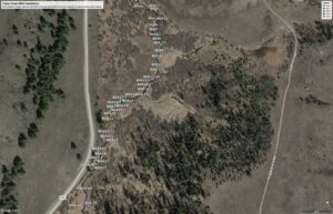
Planting plots
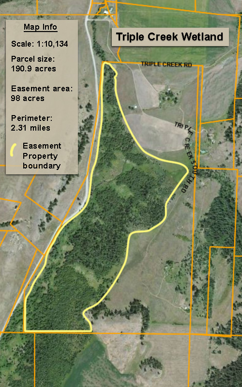
The easement property boundary
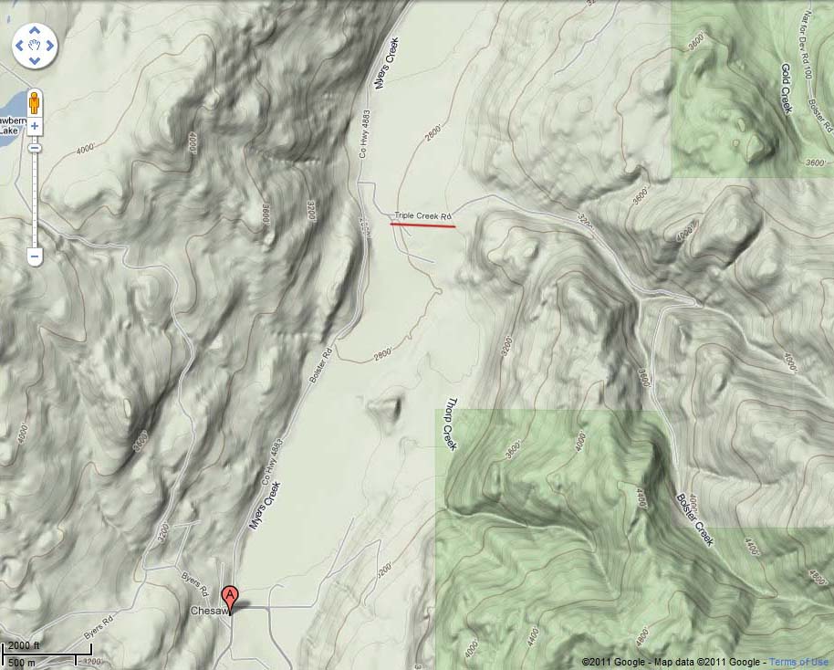
Triple Creek surrounding area topography